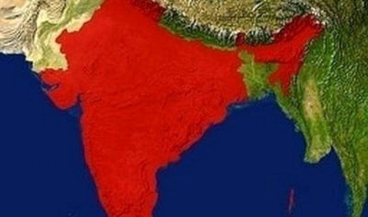
There was a time when satellite imagery was available only to the government and the military. Even when they became publicly available, they were so costly. However, that has now changed. The technology has improved so much so that free satellite images are now widely available.
Satellite Imagery and Google Maps
The Internet is the best place to look for satellite data, maps and images. Using a search engine you will find several links. These links can take you to sites with satellite information, data and images.
The most popular resource however, is Google Maps. You can use this directly from the browser. Aside from offering views from the satellite, the program has a hybrid view too. This allows you to superimpose the names of streets over the imagery.
Google Maps can be integrated with other programs. Aside from providing free satellite images, it allows one to show maps of residential areas and local business maps too. Another advantage is that it can be used for driving directions. Information on landmarks, cities and highways are provided.
Other Programs
Terrafly and Bing Maps come with features similar to Google Maps. Aside from aerial photos, the programs also have other info about images too. Another good source is the satellite pictures obtained by the NASA Earth Observatory. These images are placed in different categories. These are also available freely on the Web.
Google Earth
This application is for Microsoft Windows. It comes with satellite maps and is very much like Google Earth. This software must be downloaded. After you install the program, it will hook up to Google’s database.
From there it will get the satellite data. Once the image has been downloaded, you can look at it even when you are not online. Other programs also have this feature.
Tips
Aside from satellite imagery on cities, many websites also offer free weather satellite data. You can find these using any Web search engine. Keep in mind that you will need broadband Internet connection to view and download these files.
It is also important to note that the programs have different features. Study the software well before you start using it. Make sure your computer meets the minimum requirements set by the program.
Free satellite images can be downloaded with ease, as long as you have the software and a reliable connection. With the technology available, analyzing the features of these maps will be easy.